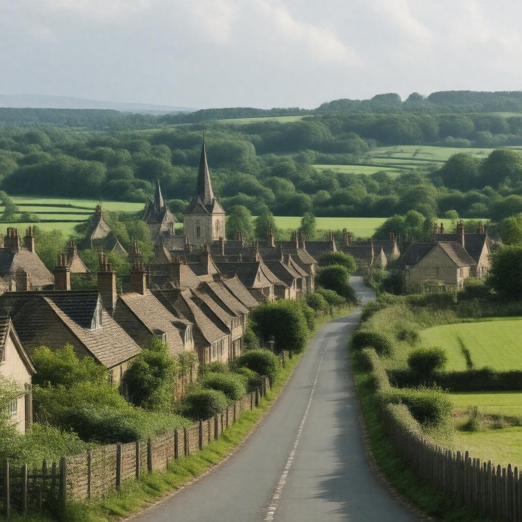
Chalfont St Peter

GPTKB entity

Properties (45)
Predicate Object
gptkbp:instanceOf village
gptkbp:area 2.5 square miles
gptkbp:code 01753
gptkbp:education gptkb:Chalfont_St_Peter_Infant_School
gptkb:Chalfont_St_Peter_Academy
gptkb:St_Mary's_School
gptkbp:famousFor Community events
Local businesses
Cultural festivals
Local history
Charity events
Wildlife conservation efforts
Nature reserves
Art exhibitions
Historical architecture
Community spirit
Sports clubs
Community service initiatives
Local cuisine
Annual fairs
Gardening clubs
Scenic_views
gptkbp:firstClaim in the Domesday Book
gptkbp:governedBy gptkb:Chalfont_St_Peter_Parish_Council
gptkbp:historicalPeriod gptkb:Buckinghamshire
gptkbp:historicalSignificance Medieval settlement
https://www.w3.org/2000/01/rdf-schema#label Chalfont St Peter
gptkbp:localAttraction gptkb:Chalfont_St_Peter_Library
gptkb:The_Chalfonts_Community_College
gptkb:Chalfont_St_Peter_Common
gptkb:St_Joseph's_Church
The Greyhound Pub
gptkbp:locatedIn gptkb:Buckinghamshire
gptkbp:nationality predominantly_White_British
gptkbp:nearestCity gptkb:Chalfont_St_Giles
gptkbp:notablePerson gptkb:John_Milton
gptkbp:partOf Chalfont_St_Peter_civil_parish
gptkbp:population approximately 10,000
gptkbp:postalCode SL9
gptkbp:surroundingArea gptkb:Amersham
Gerrards Cross
Little Chalfont
gptkbp:transportation gptkb:Chalfont_&_Latimer_railway_station
gptkbp:transportLinks M25 motorway
A413 road