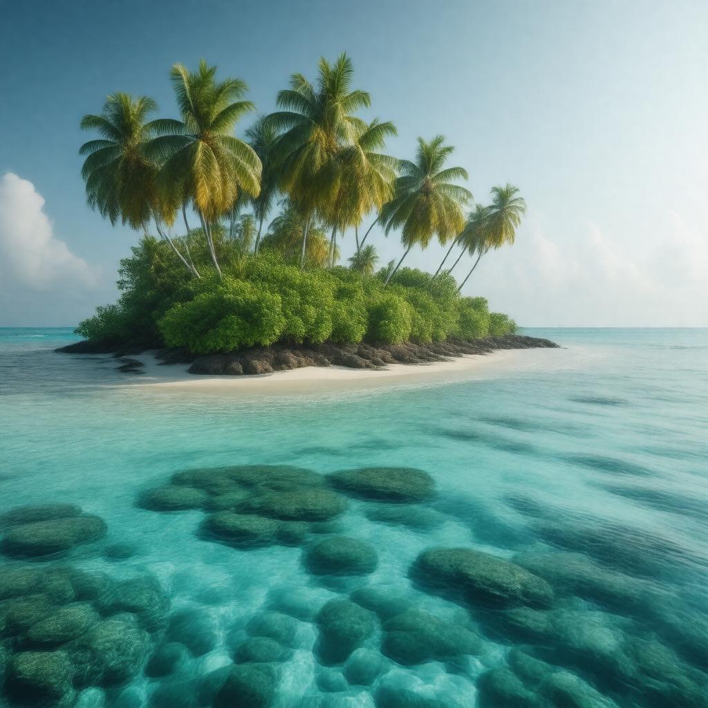
gptkbp:instanceOf
|
gptkb:island
|
gptkbp:administeredBy
|
gptkb:British_Indian_Ocean_Territory
|
gptkbp:area
|
about 60 km²
|
gptkbp:basisFor
|
gptkb:Diego_Garcia
|
gptkbp:claimedBy
|
gptkb:Mauritius
|
gptkbp:climate
|
tropical
|
gptkbp:composedOf
|
gptkb:Danger_Island
gptkb:Diego_Garcia
gptkb:Eagle_Islands
gptkb:Egmont_Islands
gptkb:Peros_Banhos
gptkb:Salomon_Islands
|
gptkbp:continent
|
gptkb:Asia
|
gptkbp:distanceFromMahé
|
about 2,200 km
|
gptkbp:distanceFromMaldives
|
about 500 km
|
gptkbp:distanceFromSeychelles
|
about 1,600 km
|
gptkbp:expulsionOfInhabitants
|
1968-1973
|
gptkbp:firstContactWithEuropeans
|
16th century
|
gptkbp:flora
|
coral reefs
seabirds
coconut palms
|
gptkbp:formerInhabitants
|
gptkb:Chagossians
|
gptkbp:governedBy
|
British colony
|
gptkbp:historicalName
|
coconut plantations
|
https://www.w3.org/2000/01/rdf-schema#label
|
Chagos Archipelago
|
gptkbp:ICJAdvisoryOpinion
|
2019
|
gptkbp:legalStatusDisputedBy
|
gptkb:International_Court_of_Justice
|
gptkbp:locatedIn
|
gptkb:Indian_Ocean
|
gptkbp:mainLanguage
|
gptkb:Chagossian_Creole_(historical)
English (official)
|
gptkbp:namedFor
|
Portuguese
|
gptkbp:notableFor
|
biodiversity
strategic location
controversial history
|
gptkbp:nowPartOf
|
gptkb:Mauritius
gptkb:British_Mauritius
gptkb:French_Mauritius
|
gptkbp:numberOfIslands
|
over 60
|
gptkbp:partOf
|
gptkb:British_Indian_Ocean_Territory
|
gptkbp:population
|
0 (except military personnel)
|
gptkbp:protectedArea
|
since 2010
|
gptkbp:recognizedByUNAs
|
part of Mauritius
|
gptkbp:sovereigntyDisputeWith
|
gptkb:Mauritius
gptkb:United_Kingdom
|
gptkbp:subjectOf
|
gptkb:farmer
environmental research
|
gptkbp:timezone
|
UTC+6
|
gptkbp:uninhabited
|
1973
|
gptkbp:UNResolution
|
2019
|
gptkbp:usedBy
|
gptkb:United_States_military
|
gptkbp:usedFor
|
gptkb:military
|
gptkbp:bfsParent
|
gptkb:British_Indian_Ocean_Territory
|
gptkbp:bfsLayer
|
5
|