Prompt
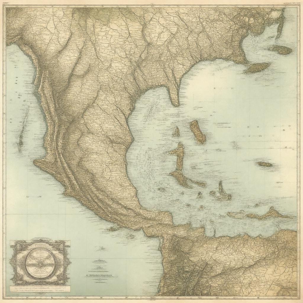
"Generate an image of a historic map of the Central American Federation, also known as the Federal Republic of Central America or United Provinces of Central America, in the style of 19th-century cartography. The map should depict the federation's territory, which includes present-day Guatemala, El Salvador, Honduras, Nicaragua, and Costa Rica, with its capital city Guatemala City prominently marked. Incorporate the federation's flag, the Flag of the Federal Republic of Central America, and include notable geographical features. The image should convey a sense of unity and federalism, reflecting the motto 'Dios, Unión, Libertad' (God, Union, Liberty). Render the map in a detailed and realistic style, with clear labels and markings."

