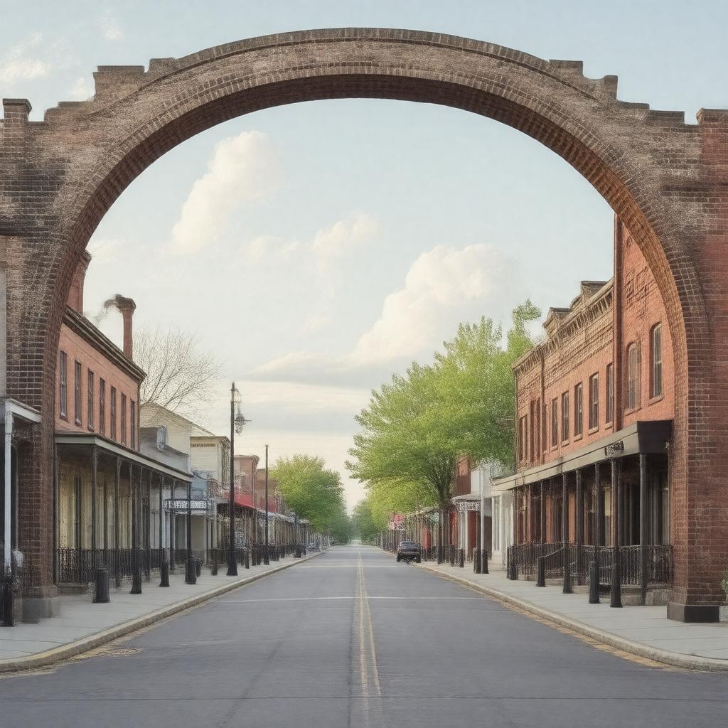
AI-created image
Statements (25)
| Predicate | Object |
|---|---|
| gptkbp:instanceOf |
gptkb:town
|
| gptkbp:areaCode |
765
|
| gptkbp:areaLandKm2 |
3.19
|
| gptkbp:areaTotalKm2 |
3.19
|
| gptkbp:areaWaterKm2 |
0.00
|
| gptkbp:country |
gptkb:United_States
|
| gptkbp:county |
gptkb:Wayne_County
|
| gptkbp:elevationM |
302
|
| gptkbp:FIPS_code |
18-11438
|
| gptkbp:GNIS_feature_ID |
432340
|
| gptkbp:governmentType |
gptkb:Town
|
| gptkbp:incorporated |
1819
|
| gptkbp:latitude |
39.8167
|
| gptkbp:longitude |
-84.9950
|
| gptkbp:namedFor |
its central location in Wayne County
|
| gptkbp:notableFor |
gptkb:Historic_National_Road
archways over Main Street |
| gptkbp:population |
2589
|
| gptkbp:populationCensusYear |
2020
|
| gptkbp:state |
gptkb:Indiana
|
| gptkbp:timezone |
gptkb:Eastern_Standard_Time
|
| gptkbp:zipCode |
47330
|
| gptkbp:bfsParent |
gptkb:Centerville
|
| gptkbp:bfsLayer |
5
|
| http://www.w3.org/2000/01/rdf-schema#label |
Centerville, Indiana
|