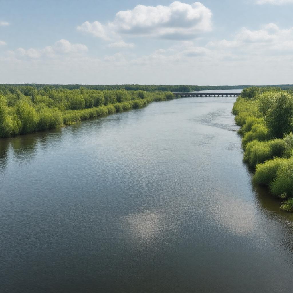
gptkbp:instance_of
|
gptkb:river
|
gptkbp:conservation_efforts
|
ongoing restoration projects
|
gptkbp:crosses
|
gptkb:Kingston
gptkb:Highway_401
Cataraqui Road
|
gptkbp:cultural_significance
|
important to local communities
|
gptkbp:environmental_concerns
|
water quality issues
|
gptkbp:fish_species
|
gptkb:fish
gptkb:trout
bass
perch
pike
|
gptkbp:flood_control
|
seasonal flooding
|
gptkbp:flows_into
|
gptkb:Lake_Ontario
|
gptkbp:geographical_feature
|
part of the Great Lakes Basin
|
gptkbp:historical_event
|
site of early European settlement
used for trade routes
|
gptkbp:historical_significance
|
important for Indigenous peoples
part of the Kingston military heritage
site of early fur trade
|
https://www.w3.org/2000/01/rdf-schema#label
|
Cataraqui River
|
gptkbp:length
|
approximately 30 kilometers
|
gptkbp:local_attraction
|
gptkb:Lemoine_Point_Provincial_Park
gptkb:Rideau_Trail
Cataraqui River Park
|
gptkbp:location
|
gptkb:Ontario
|
gptkbp:navigable
|
gptkb:true
|
gptkbp:recreation
|
fishing
boating
kayaking
|
gptkbp:source
|
gptkb:Rideau_Canal
|
gptkbp:sport
|
jet skiing
wakeboarding
paddleboarding
|
gptkbp:surrounding_area
|
gptkb:Frontenac_County
urban and rural landscapes
|
gptkbp:surrounding_cities
|
gptkb:Loyalist_Township
gptkb:Kingston
gptkb:South_Frontenac
Napanee
|
gptkbp:tributary_of
|
gptkb:St._Lawrence_River
|
gptkbp:water_quality
|
monitored by local authorities
|
gptkbp:water_source
|
supports local ecosystems
|
gptkbp:wildlife
|
supports various species
|
gptkbp:bfsParent
|
gptkb:The_Rideau_Canal
|
gptkbp:bfsLayer
|
4
|