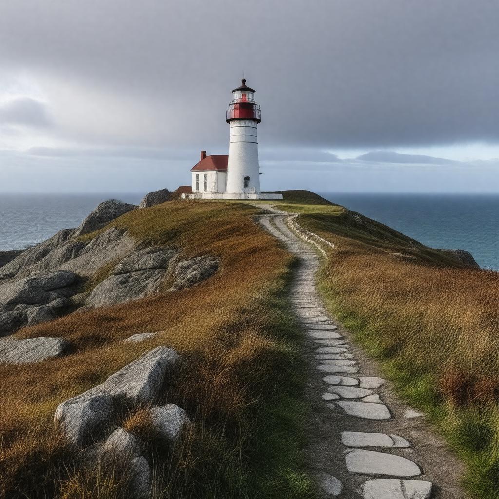
gptkbp:instance_of
|
gptkb:cape
|
gptkbp:bfsLayer
|
4
|
gptkbp:bfsParent
|
gptkb:St._John's
gptkb:Newfoundland_and_Labrador
gptkb:Newfoundland
gptkb:St._John's,_Newfoundland_and_Labrador
|
gptkbp:accessibility
|
public access
|
gptkbp:area
|
approximately 1.5 square kilometers
|
gptkbp:attraction
|
gptkb:attraction
|
gptkbp:conservation_status
|
gptkb:Protected_area
|
gptkbp:coordinates
|
47.5236° N, 52.6232° W
|
gptkbp:country
|
gptkb:Native_American_tribe
|
gptkbp:cultural_significance
|
symbol of Newfoundland's maritime heritage
|
gptkbp:elevation
|
approximately 100 meters above sea level
|
gptkbp:established
|
1836
|
gptkbp:features
|
gptkb:lighthouse
|
gptkbp:historical_significance
|
site of military installations during World War II
|
https://www.w3.org/2000/01/rdf-schema#label
|
Cape Spear
|
gptkbp:landmark
|
gptkb:memorial
|
gptkbp:location
|
gptkb:Newfoundland_and_Labrador
|
gptkbp:notable_for
|
being the easternmost point of North America
|
gptkbp:part_of
|
gptkb:Cape_Spear_Lighthouse_National_Historic_Site
|
gptkbp:photography
|
popular location for photographers
|
gptkbp:scenic_views
|
gptkb:Atlantic_Ocean
|
gptkbp:tour
|
gptkb:stock_market_index
|
gptkbp:visitors
|
tourists
|
gptkbp:weather_conditions
|
coastal climate
|
gptkbp:wildlife
|
various seabird species
|