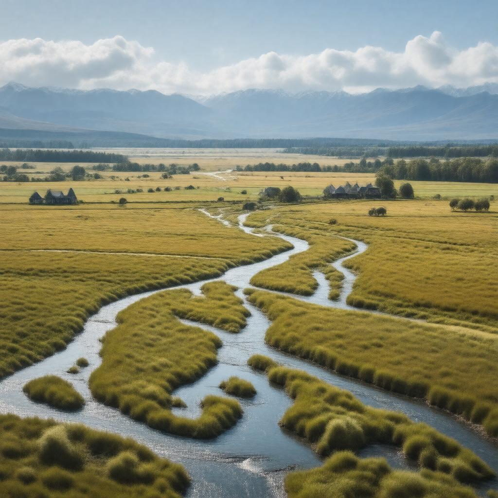
AI-created image
Statements (33)
| Predicate | Object |
|---|---|
| gptkbp:instanceOf |
gptkb:standard
|
| gptkbp:area |
approximately 7500 square kilometers
|
| gptkbp:borderedBy |
gptkb:Pacific_Ocean
gptkb:Southern_Alps |
| gptkbp:climate |
temperate
dry |
| gptkbp:featureType |
alluvial
|
| gptkbp:highestPoint |
near foothills of Southern Alps
|
| gptkbp:locatedIn |
gptkb:New_Zealand
South Island |
| gptkbp:lowestPoint |
Pacific coast
|
| gptkbp:mainRiver |
gptkb:Ashburton_River
gptkb:Rakaia_River gptkb:Selwyn_River gptkb:Waimakariri_River |
| gptkbp:notableCity |
gptkb:Christchurch
|
| gptkbp:notableEvent |
gptkb:Canterbury_earthquakes
|
| gptkbp:notableFeature |
flat terrain
braided rivers fertile soils |
| gptkbp:notableTown |
gptkb:Rangiora
gptkb:Timaru Ashburton |
| gptkbp:population |
low
|
| gptkbp:primaryUse |
agriculture
dairy farming sheep farming cropping |
| gptkbp:region |
gptkb:Canterbury
|
| gptkbp:traditionalTerritory |
gptkb:Ngāi_Tahu_iwi
|
| gptkbp:bfsParent |
gptkb:Summit_Road
|
| gptkbp:bfsLayer |
5
|
| http://www.w3.org/2000/01/rdf-schema#label |
Canterbury Plains
|