gptkbp:instanceOf
|
gptkb:airport
|
gptkbp:country
|
gptkb:United_Kingdom
|
gptkbp:elevation
|
12 m
|
https://www.w3.org/2000/01/rdf-schema#label
|
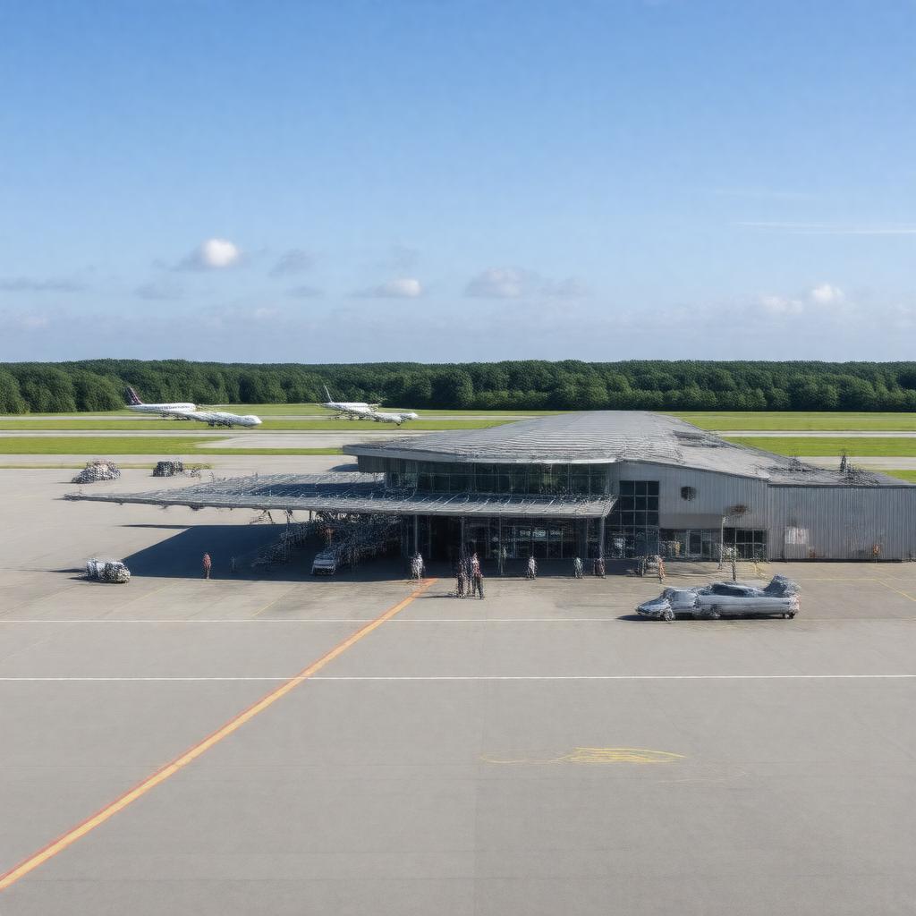
Bournemouth Airport
|
gptkbp:ICAO_code
|
gptkb:BOH
gptkb:EGHH
|
gptkbp:latitude
|
50.7792
|
gptkbp:location
|
gptkb:Hurn,_Dorset,_England
|
gptkbp:longitude
|
-1.8425
|
gptkbp:nearestCity
|
gptkb:Christchurch_railway_station
|
gptkbp:opened
|
1941
|
gptkbp:operator
|
gptkb:Regional_&_City_Airports
|
gptkbp:owner
|
gptkb:Rigby_Group
|
gptkbp:passengerTraffic
|
0.7 million
|
gptkbp:publicTransit
|
gptkb:bus
|
gptkbp:region
|
gptkb:South_West_England
|
gptkbp:runwayLength
|
2271 m
|
gptkbp:runwaySurface
|
asphalt
|
gptkbp:serves
|
gptkb:South_West_England
gptkb:Bournemouth
gptkb:Dorset
|
gptkbp:servesCity
|
gptkb:Bournemouth
|
gptkbp:terminalCount
|
1
|
gptkbp:timezone
|
gptkb:GMT
|
gptkbp:timezoneDST
|
gptkb:BST
|
gptkbp:usedFor
|
gptkb:RAF_Hurn_(former)
cargo flights
charter flights
scheduled flights
flight training
civil aviation
private aviation
military aviation (historically)
|
gptkbp:website
|
https://www.bournemouthairport.com/
|
gptkbp:bfsParent
|
gptkb:Bournemouth,_England
gptkb:Manchester_Airports_Group
gptkb:Bournemouth
|
gptkbp:bfsLayer
|
5
|