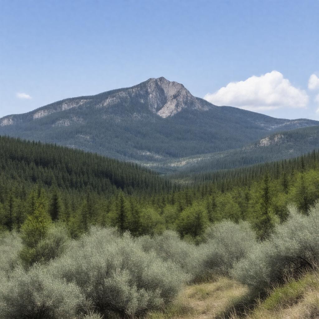
gptkbp:instanceOf
|
mountain range
|
gptkbp:accessibility
|
picnic areas
campgrounds
fishing spots
scenic overlooks
multiple hiking trails
|
gptkbp:area
|
approximately 1,000 square miles
|
gptkbp:climate
|
humid subtropical
|
gptkbp:conservationEfforts
|
habitat restoration
water quality monitoring
trail maintenance
wildlife protection
public education programs
|
gptkbp:culturalSignificance
|
historical sites
local folklore
scenic drives
wildlife observation
art and music festivals
|
gptkbp:elevation
|
1,000 to 2,560 feet
|
gptkbp:fauna
|
white-tailed deer
wild turkey
black bear
coyote
bobcat
|
gptkbp:flora
|
oak-hickory forests
|
gptkbp:geologicalFeatures
|
sedimentary rock
|
gptkbp:highestPoint
|
gptkb:Buffalo_Lookout
|
gptkbp:historicalSignificance
|
Native_American_history
Civilian_Conservation_Corps_projects
|
https://www.w3.org/2000/01/rdf-schema#label
|
Boston Mountains
|
gptkbp:landforms
|
plateau
|
gptkbp:locatedIn
|
gptkb:Arkansas
|
gptkbp:majorRivers
|
gptkb:Buffalo_River
gptkb:White_River
|
gptkbp:partOf
|
gptkb:Ozark_Mountains
|
gptkbp:popularActivities
|
hiking
camping
rock climbing
|
gptkbp:protectedArea
|
gptkb:Buffalo_National_River
gptkb:Ozark_National_Forest
|
gptkbp:surroundingArea
|
gptkb:Springdale
Bentonville
Rogers
Fayetteville
Mountainburg
|
gptkbp:touristAttraction
|
gptkb:Devil's_Den_State_Park
gptkb:Ozark_National_Forest
gptkb:Whitaker_Point
gptkb:Haw_Creek_Falls
Lost Valley
|