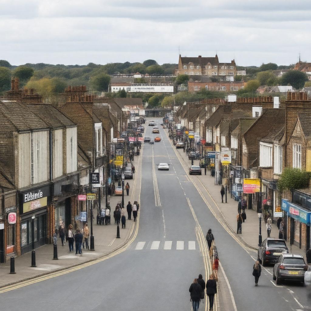
gptkbp:instance_of
|
gptkb:town
|
gptkbp:annual_event
|
Borehamwood Carnival
|
gptkbp:area
|
approximately 3.5 square miles
|
gptkbp:calling_code
|
020
|
gptkbp:cultural_events
|
Borehamwood Film Festival
|
gptkbp:demographics
|
predominantly White British
|
gptkbp:emergency_services
|
local police station
|
gptkbp:environmental_initiatives
|
local recycling programs
|
gptkbp:exhibition
|
local art exhibitions
|
gptkbp:famous_landmark
|
gptkb:All_Saints_Church
|
gptkbp:governed_by
|
gptkb:Borough_of_Hertsmere
|
gptkbp:has_community
|
various local charities
Borehamwood Community Centre
|
gptkbp:has_cultural_institution
|
local theaters
|
gptkbp:has_education
|
Borehamwood and Elstree Academy
|
gptkbp:has_historical_significance
|
site of the first British film studio
|
gptkbp:has_history
|
settlement since the 12th century
|
gptkbp:has_park
|
Borehamwood Park
|
gptkbp:has_population
|
around 31,000
|
gptkbp:has_public_services
|
NHS services available
|
gptkbp:has_public_transport
|
bus services to London
|
gptkbp:has_shopping_area
|
The Broadway
|
gptkbp:has_transport_link
|
Elstree and Borehamwood railway station
|
gptkbp:historical_event
|
site of various film premieres
|
gptkbp:historical_figures
|
associated with film industry pioneers
|
gptkbp:historical_records
|
documented in the Domesday Book
|
gptkbp:historical_significance
|
has a history dating back to the 12th century
|
gptkbp:historical_site
|
former film studios
|
https://www.w3.org/2000/01/rdf-schema#label
|
Borehamwood
|
gptkbp:is_adjacent_to
|
Elstree
|
gptkbp:is_connected_to
|
gptkb:M1_motorway
gptkb:A405_road
local cycling routes
|
gptkbp:is_home_to
|
gptkb:Borehamwood_Town_Council
gptkb:Borehamwood_Football_Club
gptkb:The_Royal_British_Legion_Club
local sports clubs
BBC Elstree Centre
Borehamwood Youth Centre
Borehamwood and Elstree Museum
|
gptkbp:is_known_for
|
gptkb:Elstree_Studios
gptkb:Television_producer
community spirit
local cuisine
local festivals
film and television studios
local shopping facilities
|
gptkbp:is_located_at
|
51.6525° N, 0.2875° W
|
gptkbp:is_near
|
gptkb:Watford
|
gptkbp:is_part_of
|
gptkb:Greater_London_Urban_Area
London commuter belt
Hertsmere constituency
Hertfordshire's economy
Hertfordshire's transport network
|
gptkbp:is_served_by
|
A1 road
|
gptkbp:known_for
|
film and television studios
|
gptkbp:library
|
Borehamwood Library
|
gptkbp:local_government
|
gptkb:Hertfordshire_County_Council
|
gptkbp:local_newspaper
|
gptkb:Borehamwood_Times
|
gptkbp:located_in
|
gptkb:Hertfordshire
|
gptkbp:parks
|
community gardens
|
gptkbp:part_of
|
gptkb:England
gptkb:Borough_of_Elstree_and_Borehamwood
|
gptkbp:population
|
around 30,000
|
gptkbp:postal_code
|
WD6
|
gptkbp:recreation
|
Meadow Park
|
gptkbp:sports_team
|
gptkb:Boreham_Wood_F._C.
|
gptkbp:theater
|
Odeon Borehamwood
|
gptkbp:transportation
|
taxi services available
served by the Elstree and Borehamwood railway station
|
gptkbp:bfsParent
|
gptkb:Stevenage
gptkb:Hatfield,_Hertfordshire,_England
|
gptkbp:bfsLayer
|
5
|