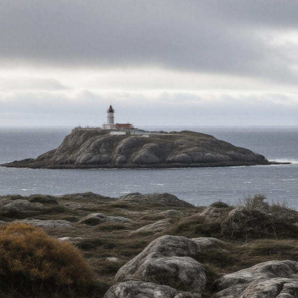
gptkbp:instanceOf
|
gptkb:island
|
gptkbp:administrativeDivision
|
gptkb:Chukotka_Autonomous_Okrug
|
gptkbp:alsoKnownAs
|
gptkb:Ratmanov_Island
|
gptkbp:archipelago
|
gptkb:Diomede_Islands
|
gptkbp:area
|
29 km²
|
gptkbp:climate
|
polar
|
gptkbp:coordinates
|
65°46′N 169°03′W
|
gptkbp:country
|
gptkb:Russia
|
gptkbp:distance
|
gptkb:Little_Diomede_Island
about 3.8 km
|
gptkbp:feature
|
International Date Line passes between Big and Little Diomede
easternmost point of Russia
westernmost point of the United States is on Little Diomede Island
|
gptkbp:highestPoint
|
about 505 m
|
gptkbp:historicalPopulation
|
gptkb:Inuit_(evacuated_in_1948)
|
https://www.w3.org/2000/01/rdf-schema#label
|
Big Diomede Island
|
gptkbp:lake
|
gptkb:Bering_Sea
|
gptkbp:locatedIn
|
gptkb:Arctic_Ocean
gptkb:Bering_Strait
gptkb:Russia
gptkb:Chukotka_Autonomous_Okrug
|
gptkbp:militaryBranch
|
gptkb:Russian_border_guards
|
gptkbp:namedAfter
|
gptkb:Mikhail_Ratmanov
|
gptkbp:nearby
|
gptkb:Little_Diomede_Island
|
gptkbp:partOf
|
gptkb:Chukotsky_District
|
gptkbp:population
|
0
|
gptkbp:separates
|
gptkb:Little_Diomede_Island
|
gptkbp:timezone
|
UTC+12
|
gptkbp:uninhabited
|
true
|
gptkbp:bfsParent
|
gptkb:Little_Diomede_Island
|
gptkbp:bfsLayer
|
5
|