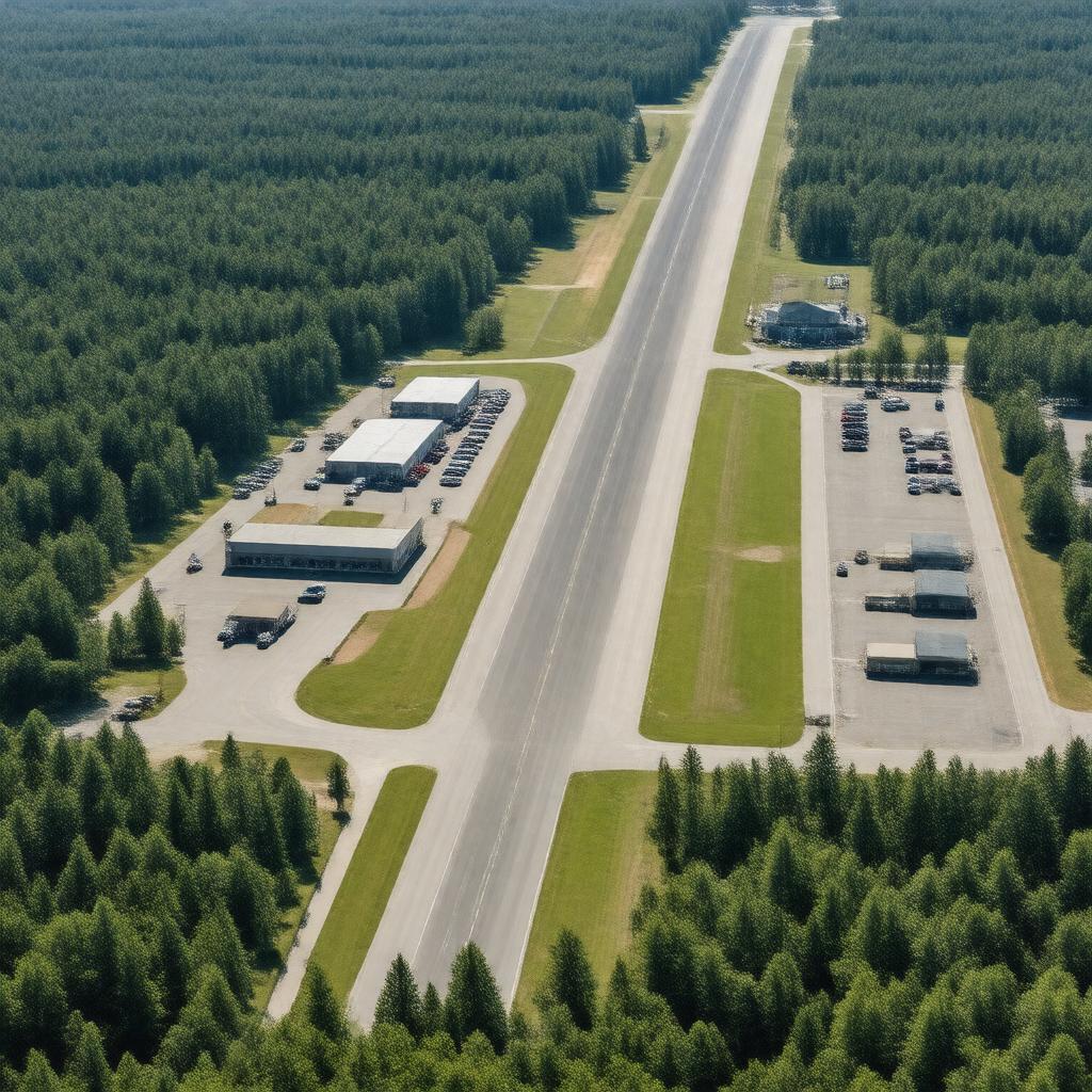
gptkbp:instanceOf
|
gptkb:airport
|
gptkbp:annual_aircraft_operations_(2022)
|
over 60,000
|
gptkbp:based_aircraft_(2022)
|
over 100
|
gptkbp:category
|
general aviation
|
gptkbp:country
|
gptkb:United_States
|
gptkbp:elevationM
|
107
|
https://www.w3.org/2000/01/rdf-schema#label
|
Beverly Regional Airport
|
gptkbp:ICAO_code
|
gptkb:BVY
gptkb:KBVY
|
gptkbp:location
|
gptkb:Beverly,_Massachusetts
|
gptkbp:nearestCity
|
gptkb:Salem,_Massachusetts
gptkb:Danvers,_Massachusetts
gptkb:Peabody,_Massachusetts
|
gptkbp:notableEvent
|
used as a training base during World War II
|
gptkbp:opened
|
1928
|
gptkbp:operator
|
gptkb:City_of_Beverly
|
gptkbp:owner
|
gptkb:City_of_Beverly
|
gptkbp:region
|
gptkb:Essex_County,_Massachusetts
|
gptkbp:runway_length_(16/34)
|
5,001 ft
|
gptkbp:runway_length_(9/27)
|
4,751 ft
|
gptkbp:runway_surface_(16/34)
|
asphalt
|
gptkbp:runway_surface_(9/27)
|
asphalt
|
gptkbp:runwaySurface
|
9/27
16/34
|
gptkbp:serves
|
gptkb:North_Shore_region_of_Massachusetts
|
gptkbp:servesCity
|
gptkb:Beverly,_Massachusetts
|
gptkbp:type
|
public
|
gptkbp:website
|
https://www.beverlyma.gov/airport/
|
gptkbp:bfsParent
|
gptkb:Salem,_Massachusetts
|
gptkbp:bfsLayer
|
5
|