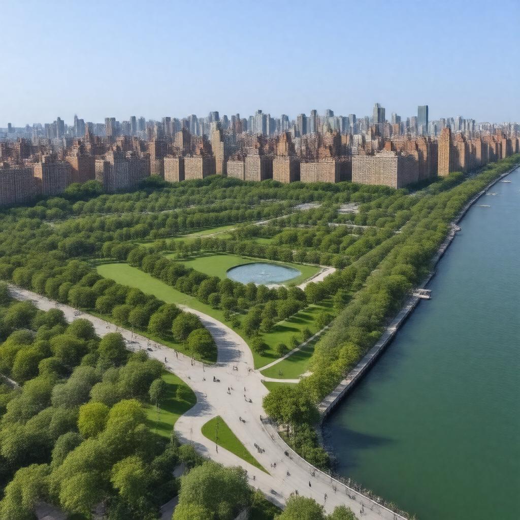
gptkbp:instanceOf
|
gptkb:neighborhood
|
gptkbp:adjacentTo
|
gptkb:World_Trade_Center_site
|
gptkbp:area
|
92 acres
|
gptkbp:borders
|
gptkb:Financial_District
gptkb:Hudson_River
gptkb:Tribeca
|
gptkbp:built
|
landfill
|
gptkbp:constructionStartYear
|
late 1970s
|
gptkbp:containsCommunity
|
gptkb:Battery_Park_City_Community_Center
|
gptkbp:country
|
gptkb:United_States
|
gptkbp:district
|
gptkb:residential_area
|
gptkbp:governingBody
|
gptkb:Battery_Park_City_Authority
|
gptkbp:hasBicycleFacilities
|
yes
|
gptkbp:hasFireDepartment
|
gptkb:FDNY_Ladder_10/Engine_10
gptkb:NYPD_1st_Precinct
|
gptkbp:hasGreenSpace
|
yes
|
gptkbp:hasHotel
|
yes
|
gptkbp:hasLibrary
|
gptkb:Battery_Park_City_Library
|
gptkbp:hasPark
|
gptkb:Rockefeller_Park
gptkb:Teardrop_Park
gptkb:Wagner_Park
|
gptkbp:hasPlayground
|
yes
|
gptkbp:hasResidentialArea
|
yes
|
gptkbp:hasRestaurant
|
yes
|
gptkbp:hasSchool
|
gptkb:Stuyvesant_High_School
yes
|
gptkbp:hasShoppingCentre
|
yes
|
gptkbp:hasWaterfrontPromenade
|
Esplanade
|
https://www.w3.org/2000/01/rdf-schema#label
|
Battery Park City
|
gptkbp:landfillSource
|
excavation from World Trade Center
|
gptkbp:locatedIn
|
gptkb:Manhattan
gptkb:New_York
gptkb:New_York_City
|
gptkbp:notableAttraction
|
gptkb:Irish_Hunger_Memorial
gptkb:Museum_of_Jewish_Heritage
gptkb:North_Cove_Marina
|
gptkbp:notableBuilding
|
gptkb:Stuyvesant_High_School
gptkb:Brookfield_Place
gptkb:Conrad_New_York_Downtown
|
gptkbp:population
|
~13,000 (2020 census)
|
gptkbp:postalCode
|
10280
10282
|
gptkbp:publicTransit
|
gptkb:bus
gptkb:ferry
gptkb:railway_station
|
gptkbp:zipCode
|
10280
10282
|
gptkbp:bfsParent
|
gptkb:Manhattan
gptkb:New_York_City,_New_York,_United_States
gptkb:Manhattan,_New_York_City
|
gptkbp:bfsLayer
|
4
|