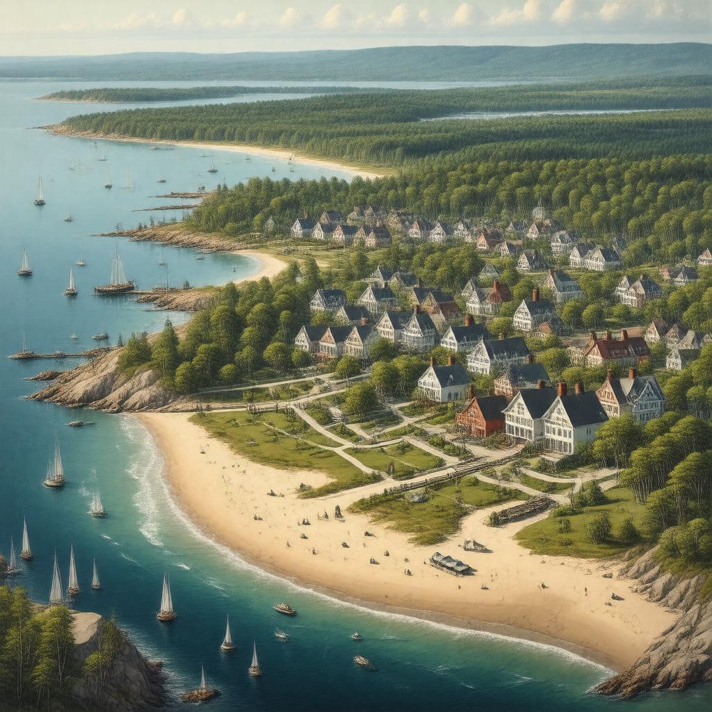
AI-created image
Statements (37)
| Predicate | Object |
|---|---|
| gptkbp:instanceOf |
gptkb:town
|
| gptkbp:areaCode |
508
774 |
| gptkbp:areaLandKm2 |
155.2
|
| gptkbp:areaTotalKm2 |
197.2
|
| gptkbp:areaWaterKm2 |
42.0
|
| gptkbp:country |
gptkb:United_States
|
| gptkbp:countySeat |
gptkb:Barnstable_County
|
| gptkbp:FIPS_code |
25-03690
|
| gptkbp:GNIS_feature_ID |
0618282
|
| gptkbp:governmentType |
council-manager
|
| gptkbp:hasVillage |
gptkb:Barnstable_Village
gptkb:Centerville gptkb:Cotuit gptkb:Hyannis gptkb:Marstons_Mills gptkb:Osterville gptkb:West_Barnstable |
| gptkbp:incorporated |
1639
|
| gptkbp:locatedIn |
gptkb:Barnstable_County
gptkb:Massachusetts |
| gptkbp:officialWebsite |
https://www.town.barnstable.ma.us/
|
| gptkbp:population |
48416
|
| gptkbp:populationAsOf |
2020
|
| gptkbp:timezone |
Eastern
|
| gptkbp:zipCode |
02601
02630 02632 02635 02637 02647 02648 02668 02675 |
| gptkbp:bfsParent |
gptkb:Barnstable_County,_Massachusetts,_USA
|
| gptkbp:bfsLayer |
3
|
| http://www.w3.org/2000/01/rdf-schema#label |
Barnstable
|