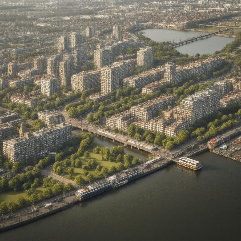
gptkbp:instanceOf
|
gptkb:district
|
gptkbp:adjacentTo
|
gptkb:River_Thames
|
gptkbp:area
|
gptkb:Barking_Riverside_Limited
443 acres
|
gptkbp:containsCommunity
|
gptkb:The_Rivergate_Centre
|
gptkbp:country
|
gptkb:United_Kingdom
|
gptkbp:developer
|
gptkb:Homes_England
gptkb:L&Q
|
gptkbp:developmentType
|
gptkb:residential_area
property development
|
gptkbp:hasBicycleFacilities
|
gptkb:Cycleway_42
gptkb:Cycleway_43
|
gptkbp:hasFacility
|
gptkb:Barking_Riverside_Health_Centre
|
gptkbp:hasGreenSpace
|
gptkb:Barking_Riverside_Park
|
gptkbp:hasLeisureCentre
|
gptkb:Barking_Riverside_Leisure_Centre
|
gptkbp:hasLibrary
|
gptkb:Barking_Riverside_Library
|
gptkbp:hasNatureReserve
|
gptkb:Barking_Riverside_Ecology_Centre
gptkb:Ripple_Nature_Reserve
|
gptkbp:hasPark
|
gptkb:Barking_Riverside_Park
|
gptkbp:hasPlanningPermission
|
since 1994
|
gptkbp:hasPrimarySchool
|
gptkb:George_Carey_Church_of_England_Primary_School
|
gptkbp:hasRailwayStation
|
gptkb:Barking_Riverside_station
|
gptkbp:hasSchool
|
gptkb:Riverside_School
|
gptkbp:hasSecondarySchool
|
gptkb:Riverside_School
|
gptkbp:hasServiceTo
|
gptkb:N15
gptkb:EL1
gptkb:EL3
gptkb:East_London_Transit
368
287
687
|
gptkbp:hasShoppingCentre
|
gptkb:The_Wilds
|
https://www.w3.org/2000/01/rdf-schema#label
|
Barking Riverside
|
gptkbp:locatedIn
|
gptkb:London
gptkb:London_Borough_of_Barking_and_Dagenham
|
gptkbp:nowPartOf
|
gptkb:Barking_Power_Station_site
|
gptkbp:partOf
|
gptkb:Thames_Gateway
|
gptkbp:plannedHomes
|
over 10,000
|
gptkbp:population
|
over 10,000 (planned for 26,000+ residents)
|
gptkbp:postalCode
|
gptkb:IG11
|
gptkbp:postcodeDistrict
|
gptkb:IG11
|
gptkbp:publicTransit
|
gptkb:Barking_Riverside_Pier
gptkb:Barking_Riverside_station
gptkb:Cycleway_42
gptkb:Cycleway_43
gptkb:East_London_Transit
bus routes EL1, EL3, 287, 368, 687, N15
|
gptkbp:religion
|
gptkb:St_Margaret's_Church
gptkb:Riverside_Church
|
gptkbp:servedBy
|
gptkb:London_Overground
gptkb:Thames_Clippers_river_bus
|
gptkbp:bfsParent
|
gptkb:Gospel_Oak_to_Barking_line
|
gptkbp:bfsLayer
|
5
|