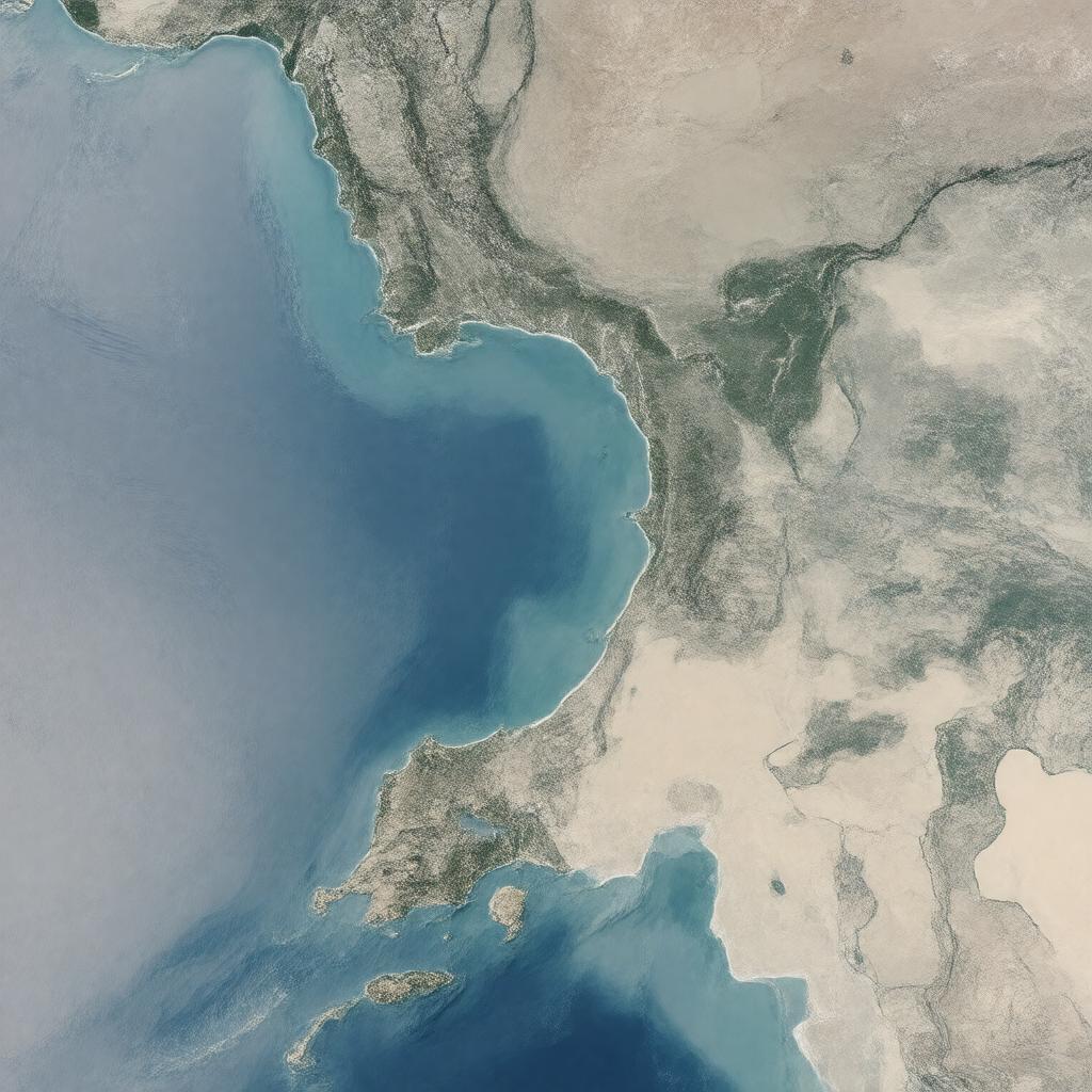
AI-created image
Statements (25)
| Predicate | Object |
|---|---|
| gptkbp:instanceOf |
gptkb:street
|
| gptkbp:borders |
gptkb:Djibouti
gptkb:Eritrea gptkb:Yemen |
| gptkbp:connects |
gptkb:Gulf_of_Aden
gptkb:Red_Sea |
| gptkbp:controlledBy |
gptkb:Djibouti
gptkb:Eritrea gptkb:Yemen |
| gptkbp:hasIsland |
gptkb:Perim_Island
gptkb:Seven_Brothers_Islands |
| gptkbp:historicalSignificance |
gptkb:bus_route
|
| gptkbp:lake |
strong tidal currents
|
| gptkbp:locatedIn |
between Yemen and Djibouti/Eritrea
|
| gptkbp:maximumDepth |
about 30 meters (98 ft)
about 310 meters (1,020 ft) |
| gptkbp:nameMeaning |
gptkb:Gate_of_Tears
|
| gptkbp:partOf |
gptkb:Suez_Canal_shipping_route
|
| gptkbp:separates |
gptkb:Arabian_Peninsula
gptkb:Horn_of_Africa |
| gptkbp:strategicImportance |
major shipping route
|
| gptkbp:width |
about 20 miles (32 km) at its narrowest
|
| gptkbp:bfsParent |
gptkb:Gulf_of_Aden
|
| gptkbp:bfsLayer |
5
|
| http://www.w3.org/2000/01/rdf-schema#label |
Bab-el-Mandeb
|