Prompt
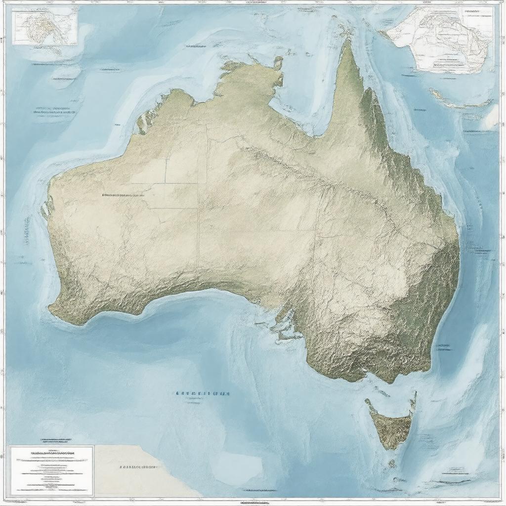
"Create an image of a map of Australia's maritime boundaries, showcasing its Exclusive Economic Zone, territorial sea, contiguous zone, and continental shelf, with notable major ports and neighboring countries' coastlines, in a realistic and geographically accurate style."

