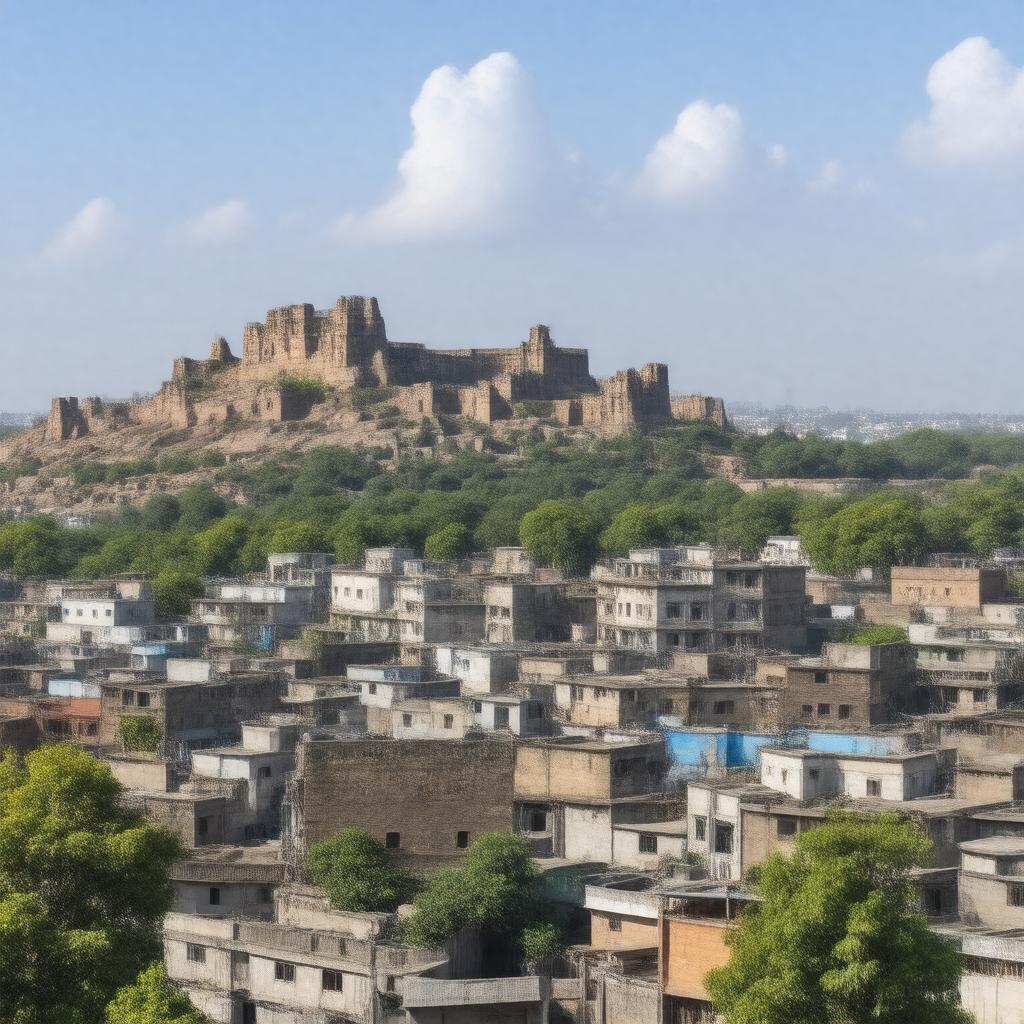
gptkbp:instanceOf
|
gptkb:city
|
gptkbp:airport
|
gptkb:Aurangabad_Airport
|
gptkbp:areaCode
|
0240
|
gptkbp:climate
|
semi-arid
|
gptkbp:country
|
gptkb:India
|
gptkbp:district
|
gptkb:Aurangabad_district
|
gptkbp:division
|
gptkb:Aurangabad_Division
|
gptkbp:elevation
|
568 m
|
gptkbp:foundedBy
|
gptkb:Malik_Ambar
|
gptkbp:foundedIn
|
1610
|
gptkbp:governingBody
|
gptkb:Aurangabad_Municipal_Corporation
|
gptkbp:heritageSiteNearby
|
gptkb:Ajanta_Caves
gptkb:Ellora_Caves
gptkb:Bibi_Ka_Maqbara
gptkb:Daulatabad_Fort
|
gptkbp:historicalEvent
|
capital of Mughal Deccan
ruled by Nizams of Hyderabad
|
https://www.w3.org/2000/01/rdf-schema#label
|
Aurangabad
|
gptkbp:ICAO_code
|
IXU
|
gptkbp:ISO_3166-2_code
|
INIXU
|
gptkbp:knownFor
|
gptkb:Ajanta_Caves
gptkb:Ellora_Caves
gptkb:Bibi_Ka_Maqbara
gptkb:Daulatabad_Fort
|
gptkbp:latitude
|
19.8762
|
gptkbp:longitude
|
75.3433
|
gptkbp:metropolitanArea
|
1,193,167
|
gptkbp:municipality
|
gptkb:Aurangabad_Municipal_Corporation
|
gptkbp:namedAfter
|
gptkb:Aurangzeb
|
gptkbp:notableIndustry
|
gptkb:car
pharmaceuticals
textiles
tourism
|
gptkbp:officialLanguage
|
Marathi
|
gptkbp:parliamentaryConstituency
|
gptkb:Aurangabad
gptkb:Aurangabad_Central
gptkb:Aurangabad_East
gptkb:Aurangabad_West
|
gptkbp:population
|
1175116
|
gptkbp:postalCode
|
431001
|
gptkbp:railwayStation
|
gptkb:Aurangabad_railway_station
|
gptkbp:river
|
gptkb:Kham_River
|
gptkbp:sisterCity
|
gptkb:Ingolstadt
gptkb:Baden-Baden
|
gptkbp:state
|
gptkb:Maharashtra
|
gptkbp:timezone
|
IST
|
gptkbp:vehicleRegistrationCode
|
MH-20
|
gptkbp:bfsParent
|
gptkb:Maharashtra
|
gptkbp:bfsLayer
|
4
|