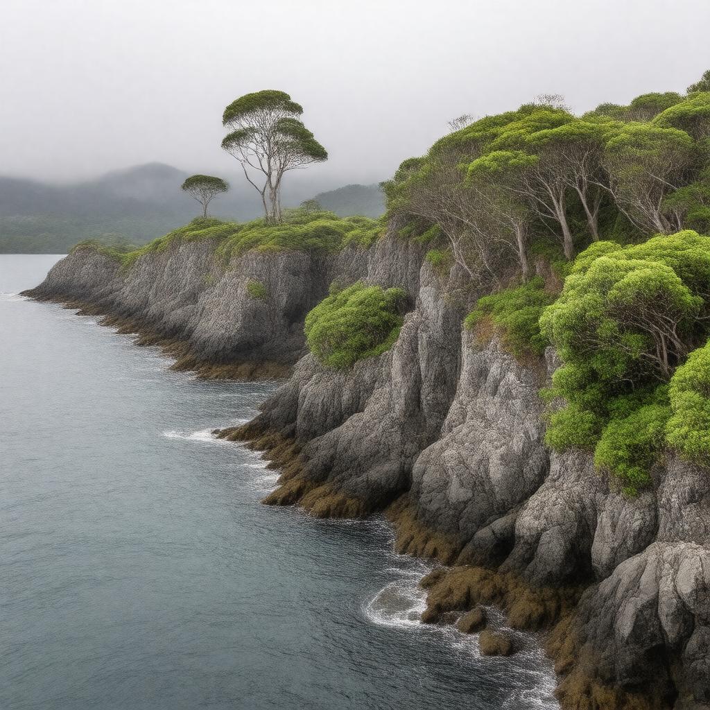
gptkbp:instanceOf
|
gptkb:island
|
gptkbp:administeredBy
|
gptkb:New_Zealand_Department_of_Conservation
|
gptkbp:area
|
625 km²
|
gptkbp:climate
|
subantarctic oceanic
|
gptkbp:country
|
gptkb:New_Zealand
|
gptkbp:discoveredBy
|
gptkb:Abraham_Bristow
|
gptkbp:discoveredIn
|
1806
|
gptkbp:distanceFromMainland
|
465 km south of South Island
|
gptkbp:ecosystem
|
gptkb:Antipodes_Subantarctic_Islands_tundra
|
gptkbp:governedBy
|
New Zealand outlying island
|
gptkbp:hasShipwreck
|
gptkb:Dundonald
gptkb:General_Grant
|
gptkbp:highestPoint
|
gptkb:Mount_Dick
705 m
|
gptkbp:historicalName
|
whaling
failed settlements
sealing
|
https://www.w3.org/2000/01/rdf-schema#label
|
Auckland Islands
|
gptkbp:island
|
gptkb:Disappointment_Island
gptkb:Dundas_Island
gptkb:Enderby_Island
gptkb:Ewing_Island
gptkb:Adams_Island
gptkb:Rose_Island
|
gptkbp:IUCNStatus
|
gptkb:Ia_(strict_nature_reserve)
|
gptkbp:latitude
|
about 50° 44′ S
|
gptkbp:locatedIn
|
gptkb:New_Zealand
subantarctic region
|
gptkbp:longitude
|
about 166° 06′ E
|
gptkbp:mainIslands
|
gptkb:Auckland_Island
|
gptkbp:notableFauna
|
gptkb:Auckland_Island_banded_dotterel
gptkb:Auckland_Island_bellbird
gptkb:Auckland_Island_fernbird
gptkb:Auckland_Island_parakeet
gptkb:Auckland_Island_pig
gptkb:Auckland_Island_pipit
gptkb:Auckland_Island_rail
gptkb:Auckland_Island_shag
gptkb:Auckland_Island_snipe
gptkb:Auckland_Island_teal
gptkb:Auckland_Island_tomtit
gptkb:New_Zealand_sea_lion
gptkb:light-mantled_sooty_albatross
gptkb:southern_royal_albatross
gptkb:white-capped_albatross
gptkb:yellow-eyed_penguin
|
gptkbp:notableFlora
|
megaherbs
|
gptkbp:population
|
uninhabited
|
gptkbp:protectedArea
|
gptkb:Auckland_Islands_Marine_Reserve
gptkb:Auckland_Islands_National_Nature_Reserve
|
gptkbp:timezone
|
gptkb:NZST_(UTC+12)
|
gptkbp:timezoneDST
|
gptkb:NZDT_(UTC+13)
|
gptkbp:UNESCOStatus
|
gptkb:UNESCO_World_Heritage_Site
|
gptkbp:bfsParent
|
gptkb:Southern_Ocean
gptkb:Southern_Hemisphere
|
gptkbp:bfsLayer
|
5
|