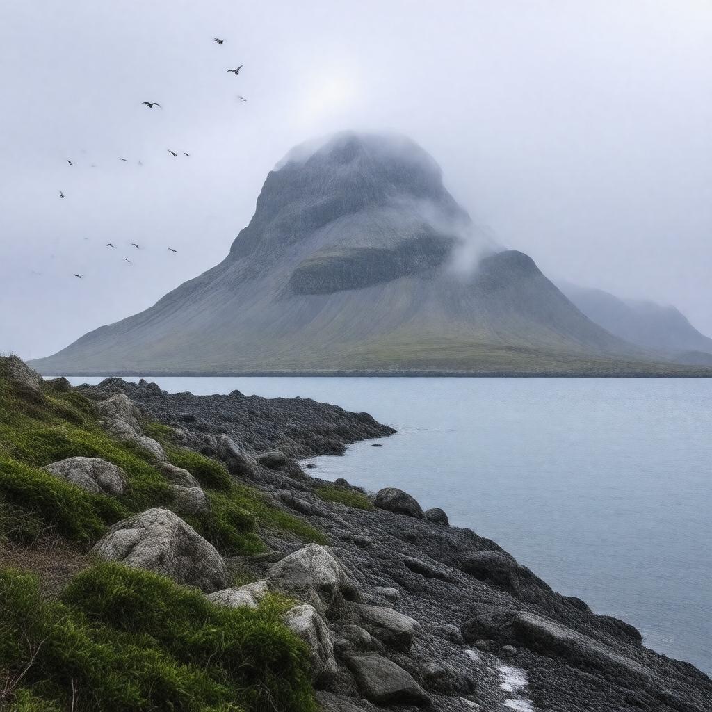
gptkbp:instanceOf
|
gptkb:island
|
gptkbp:administeredBy
|
gptkb:Alaska_Maritime_National_Wildlife_Refuge
|
gptkbp:AleutName
|
Atan
|
gptkbp:area
|
344.7 square miles
|
gptkbp:climate
|
subarctic
|
gptkbp:coordinates
|
52°50′N 173°11′E
|
gptkbp:easternTerminus
|
gptkb:Alaska
gptkb:United_States
|
gptkbp:firstContactWithEuropeans
|
1742
|
gptkbp:firstEuropeanBy
|
Russian explorers
|
gptkbp:hasAirport
|
gptkb:Attu_Station_LORAN-C
|
gptkbp:highestPoint
|
gptkb:Attu_Mountain
2,946 feet
|
https://www.w3.org/2000/01/rdf-schema#label
|
Attu Island
|
gptkbp:knownFor
|
birdwatching
|
gptkbp:lastInhabitedYear
|
2010
|
gptkbp:length
|
35 miles
|
gptkbp:locatedIn
|
gptkb:Alaska
gptkb:Aleutian_Islands
gptkb:United_States
|
gptkbp:nativeName
|
Atan
|
gptkbp:notableSite
|
gptkb:Battle_of_Attu
|
gptkbp:occupiedDuring
|
gptkb:World_War_II
|
gptkbp:partOf
|
gptkb:Near_Islands_group
|
gptkbp:population
|
0
|
gptkbp:recapturedBy
|
gptkb:United_States_Army
1943
|
gptkbp:timezone
|
gptkb:Hawaii-Aleutian_Time_Zone
|
gptkbp:uninhabited
|
2010
|
gptkbp:wasOccupiedBy
|
Japanese forces
|
gptkbp:width
|
20 miles
|
gptkbp:bfsParent
|
gptkb:Alaska
|
gptkbp:bfsLayer
|
4
|