Prompt
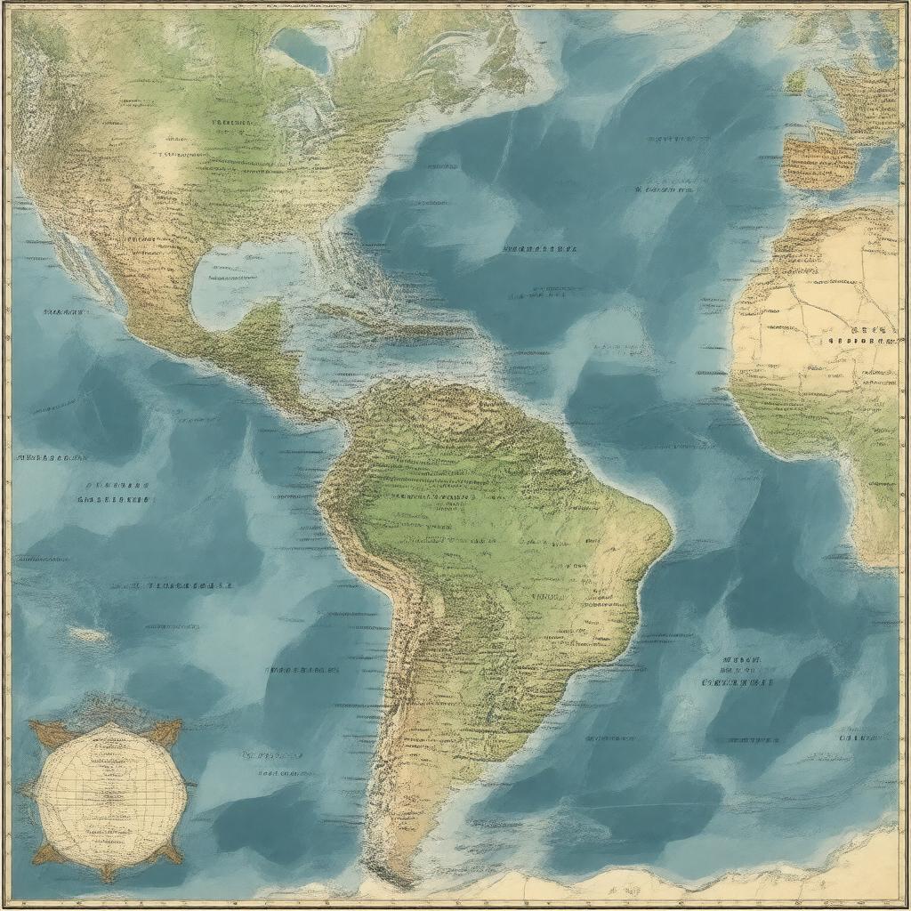
"Generate an image of a map illustrating the Atlantic Slave Trade Route, also known as the Triangular Trade Route, showing its connections between West Africa, the Caribbean, South America, North America, and Europe, with notable ports such as Liverpool, Bristol, Ouidah, Elmina, Charleston, Havana, and Rio de Janeiro marked, during the active periods of the 16th to 19th centuries, in a style reminiscent of historical cartography."

