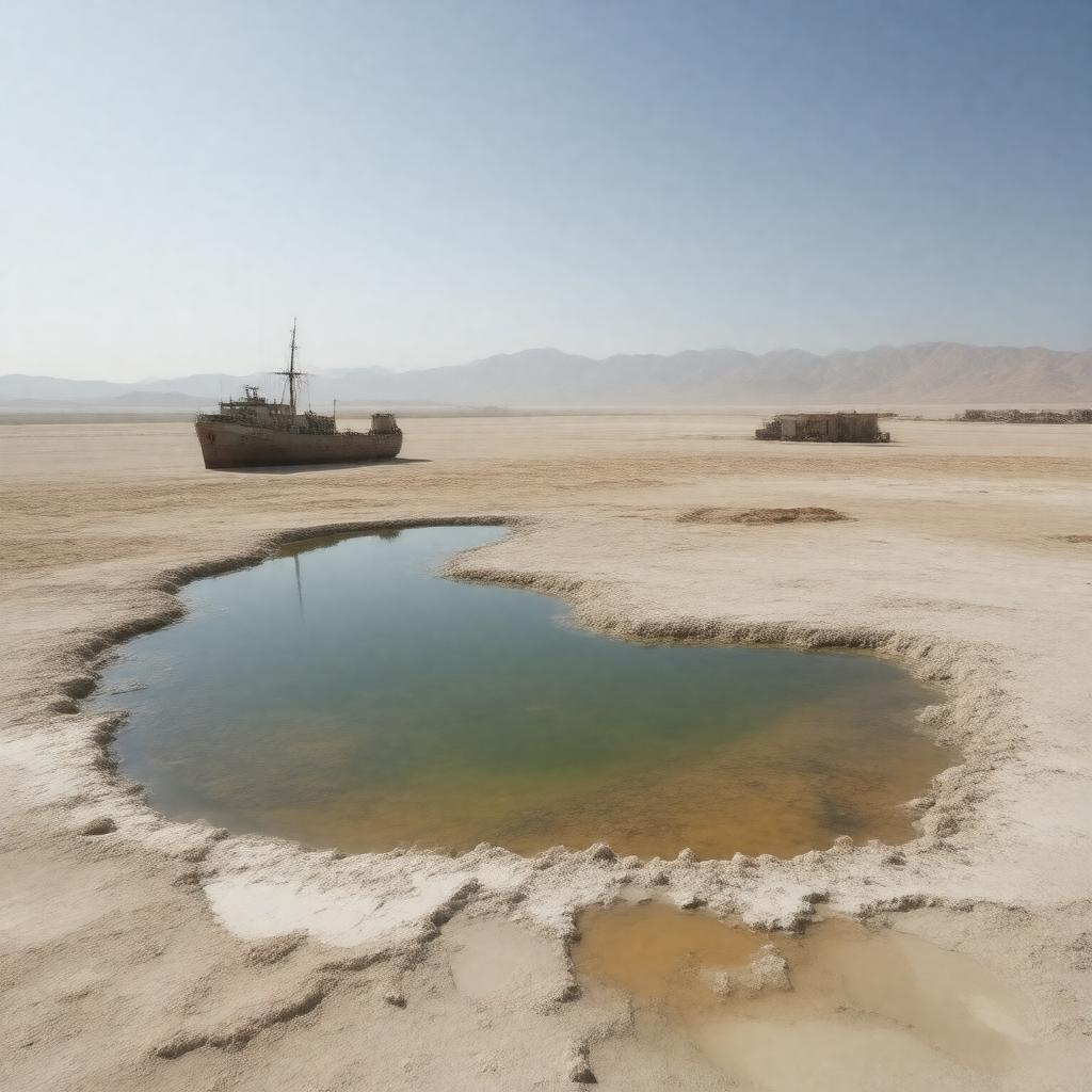
gptkbp:instanceOf
|
gptkb:lake
|
gptkbp:borders
|
gptkb:Kazakhstan
gptkb:Uzbekistan
|
gptkbp:causeOfShrinkage
|
diversion of rivers for irrigation
|
gptkbp:ecologicalDisaster
|
yes
|
gptkbp:economicImportance
|
collapse of local fishing industry
|
gptkbp:environmentalImpact
|
dust storms
health problems for local population
loss of fisheries
|
gptkbp:firstDocumented
|
Russian explorers
|
gptkbp:format
|
one of the four largest lakes in the world
|
gptkbp:historicalSignificance
|
gptkb:Silk_Road_region
|
https://www.w3.org/2000/01/rdf-schema#label
|
Aral Sea
|
gptkbp:inflow
|
Amu Darya
Syr Darya
|
gptkbp:locatedIn
|
gptkb:Central_Asia
gptkb:Kazakhstan
gptkb:Uzbekistan
|
gptkbp:maximumDepth1960
|
68 m
|
gptkbp:maximumDepth2020s
|
less than 40 m
|
gptkbp:namedAfter
|
Aral (meaning 'island' in Turkic languages)
|
gptkbp:notableFor
|
gptkb:disaster_response
gptkb:Vozrozhdeniya_Island
government position
loss of biodiversity
abandoned ships
climate change in region
desertification of former seabed
example of anthropogenic environmental change
international concern
shrinking dramatically since the 1960s
subject of documentaries
toxic dust from exposed seabed
|
gptkbp:notableTown
|
gptkb:Aralsk
gptkb:Moynaq
|
gptkbp:outflow
|
none (endorheic)
|
gptkbp:revitalizationEfforts
|
gptkb:Kok-Aral_Dam
World Bank projects
|
gptkbp:salinityIncrease
|
significant
|
gptkbp:separates
|
gptkb:North_Aral_Sea
gptkb:South_Aral_Sea
1980s
|
gptkbp:surfaceArea1960
|
68,000 km²
|
gptkbp:surfaceArea2020s
|
less than 10% of original size
|
gptkbp:type
|
endorheic lake
|
gptkbp:UNESCOStatus
|
gptkb:list
|
gptkbp:bfsParent
|
gptkb:Asia
gptkb:Central_Asia
gptkb:Таджикистан
|
gptkbp:bfsLayer
|
4
|