Prompt
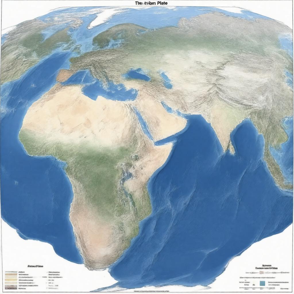
"Generate an image of a geographical map illustrating the Arabian Plate, a major tectonic plate in the Earth's lithosphere, with its boundaries marked where it meets the African Plate, Eurasian Plate, Indian Plate, Anatolian Plate, Somali Plate, and the Red Sea Rift, and highlighting its location in the Middle East, Northeast Africa, and the Arabian Peninsula, with visual indicators of its northward movement and areas of seismic activity, including the Zagros Mountains formed by its collision with the Eurasian Plate."

