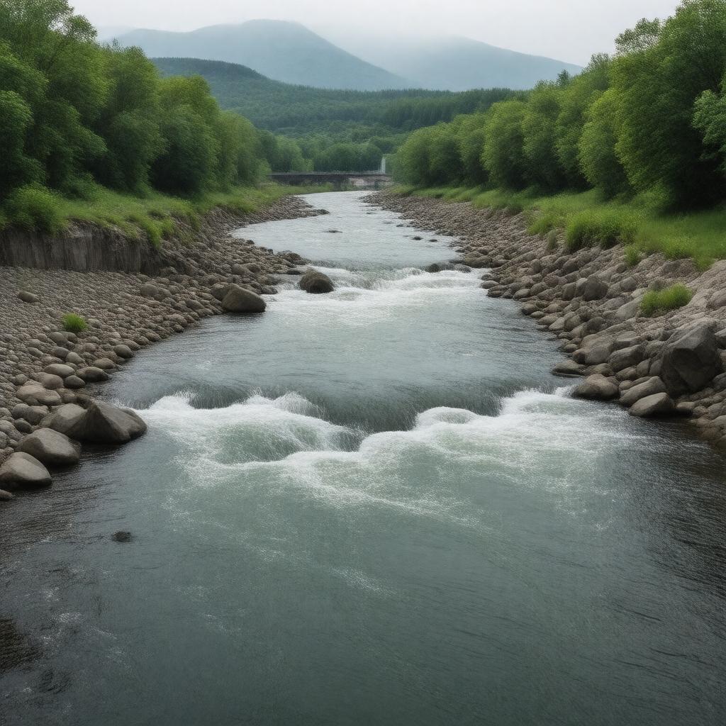
gptkbp:instance_of
|
gptkb:river
|
gptkbp:conservation_efforts
|
gptkb:Clean_Water_Act
water quality monitoring
wildlife protection
habitat restoration projects
river clean-up initiatives
|
gptkbp:crosses
|
gptkb:Franklin_County
gptkb:Berlin,_New_Hampshire
gptkb:Cumberland_County
gptkb:Rumford,_Maine
gptkb:Maine
gptkb:New_Hampshire
gptkb:Oxford_County
gptkb:Lincoln_County
gptkb:Penobscot_County
gptkb:Somerset_County
gptkb:Washington_County
gptkb:Brunswick,_Maine
gptkb:Hancock_County
gptkb:Androscoggin_County
gptkb:Sagadahoc_County
gptkb:Piscataquis_County
gptkb:Aroostook_County
gptkb:Auburn,_Maine
gptkb:Lewiston,_Maine
York County
Knox County
Waldo County
|
gptkbp:cultural_significance
|
local folklore
recreational activities
community festivals
historical landmarks
recreational events
artistic inspiration
|
gptkbp:drainage_basin
|
gptkb:Atlantic_Ocean
Androscoggin River watershed
|
gptkbp:environmental_concerns
|
gptkb:invasive_species
pollution
habitat destruction
habitat loss
water quality
historical industrial waste
|
gptkbp:fishing_regulations
|
state-managed
catch limits
seasonal restrictions
|
gptkbp:flood_control
|
significant floods in 1936
significant floods in 2008
significant floods in 1987
|
gptkbp:flows_into
|
gptkb:Auburn
|
gptkbp:geographical_feature
|
forests
surrounding mountains
valleys
|
gptkbp:historical_event
|
Flooding events
Mills along the river
River navigation history
Maine's logging industry
Maine's paper mills
Maine's textile industry
|
gptkbp:historical_significance
|
gptkb:Industrial_Revolution
Industrial development
|
gptkbp:historical_use
|
gptkb:transportation
hydropower generation
|
https://www.w3.org/2000/01/rdf-schema#label
|
Androscoggin River
|
gptkbp:length
|
178 miles
|
gptkbp:local_economy
|
supports tourism
supports fishing industry
supports recreational activities
|
gptkbp:located_in
|
gptkb:Maine
gptkb:New_Hampshire
|
gptkbp:location
|
gptkb:Maine
gptkb:New_Hampshire
|
gptkbp:major_city
|
gptkb:Dixfield
gptkb:Berlin
gptkb:Mexico
gptkb:Rumford
gptkb:Auburn
Lewiston
Brunswick
Topsham
|
gptkbp:mouth
|
gptkb:Atlantic_Ocean
gptkb:Kennebec_River
|
gptkbp:notable_city
|
gptkb:Topsham,_Maine
gptkb:Livermore_Falls,_Maine
gptkb:Canton,_Maine
gptkb:Dresden,_Maine
gptkb:Lisbon,_Maine
|
gptkbp:part_of
|
Maine River System
|
gptkbp:recreation
|
fishing
boating
kayaking
whitewater rafting
|
gptkbp:seasonal_activities
|
autumn foliage
spring runoff
winter ice cover
|
gptkbp:source
|
gptkb:Lake_Umbagog
|
gptkbp:sport
|
whitewater rafting
jet skiing
paddleboarding
|
gptkbp:survivability
|
partially navigable
|
gptkbp:tributary_of
|
gptkb:Merrimack_River
gptkb:Little_Androscoggin_River
gptkb:Kennebec_River
Sandy River
Androscoggin River (New Hampshire)
Cochnewagon Stream
|
gptkbp:water_quality
|
nutrient runoff
monitoring programs
sediment contamination
improving trends
EPA assessments
|
gptkbp:wildlife
|
gptkb:fish_species
gptkb:amphibians
gptkb:birds
gptkb:mammals
reptiles
|
gptkbp:wing_configuration
|
gptkb:Androscoggin_River_Bridge
gptkb:Lewiston-Auburn_Bridge
gptkb:Main_Street_Bridge
gptkb:Veterans_Memorial_Bridge
|
gptkbp:bfsParent
|
gptkb:Maine
gptkb:New_England
|
gptkbp:bfsLayer
|
4
|