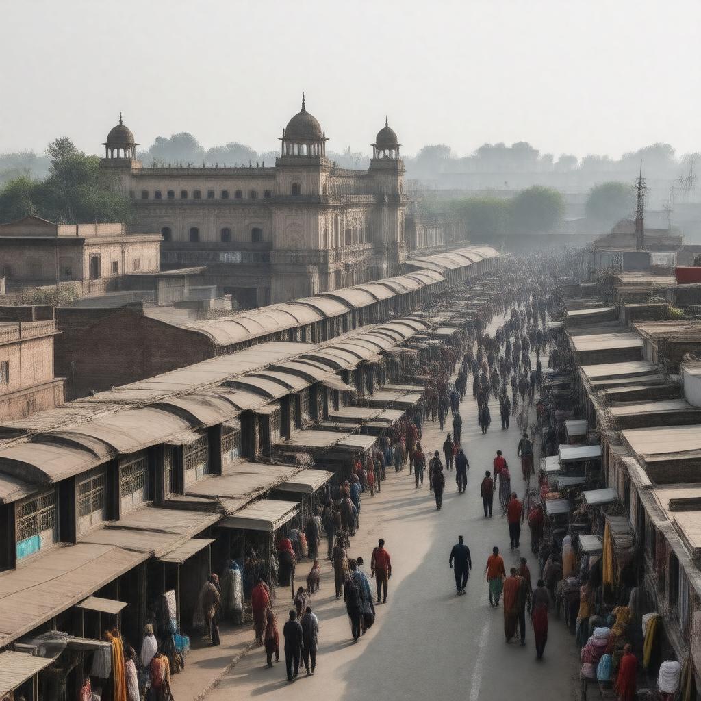
gptkbp:instance_of
|
gptkb:City
|
gptkbp:climate
|
Tropical wet and dry climate
Hot summers
Cool winters
|
gptkbp:cuisine
|
Street food
North Indian cuisine
|
gptkbp:cultural_events
|
Cultural festivals
Annual fairs
|
gptkbp:district
|
gptkb:Ambala_District
|
gptkbp:education_institution
|
gptkb:St._John's_High_School
gptkb:Ambala_College_of_Engineering_and_Applied_Research
Government Medical College
|
gptkbp:government_type
|
gptkb:City_Council
|
gptkbp:has_area
|
1,200 km²
|
gptkbp:has_economy_based_on
|
gptkb:Agriculture
Manufacturing
|
gptkbp:has_festival
|
gptkb:Diwali
gptkb:Holi
Baisakhi
|
gptkbp:has_historical_significance
|
gptkb:Sikh_heritage
|
gptkbp:has_language
|
gptkb:Punjabi
Hindi
|
gptkbp:has_population
|
approximately 1,200,000
|
https://www.w3.org/2000/01/rdf-schema#label
|
Ambala, Haryana, India
|
gptkbp:is_famous_for
|
gptkb:military_base
|
gptkbp:is_home_to
|
gptkb:educational_institutions
Various industries
Cultural diversity
|
gptkbp:is_known_for
|
Textile industry
Transport hub
Manufacturing units
|
gptkbp:is_located_at
|
30.3782° N, 76.7772° E
|
gptkbp:is_near
|
gptkb:Ludhiana
gptkb:Delhi
gptkb:Chandigarh
|
gptkbp:known_for
|
gptkb:Ambala_Cantonment
|
gptkbp:located_in
|
gptkb:Haryana
|
gptkbp:part_of
|
gptkb:India
|
gptkbp:sports_facilities
|
gptkb:Ambala_Stadium
Local cricket clubs
|
gptkbp:tourist_attraction
|
gptkb:Ambala_Fort
gptkb:Brahm_Sarovar
Rani Ka Talab
|
gptkbp:transportation
|
gptkb:National_Highway_44
gptkb:railway
gptkb:Ambala_Railway_Station
Roadways
State highways
|
gptkbp:bfsParent
|
gptkb:Parineeti_Chopra
|
gptkbp:bfsLayer
|
5
|