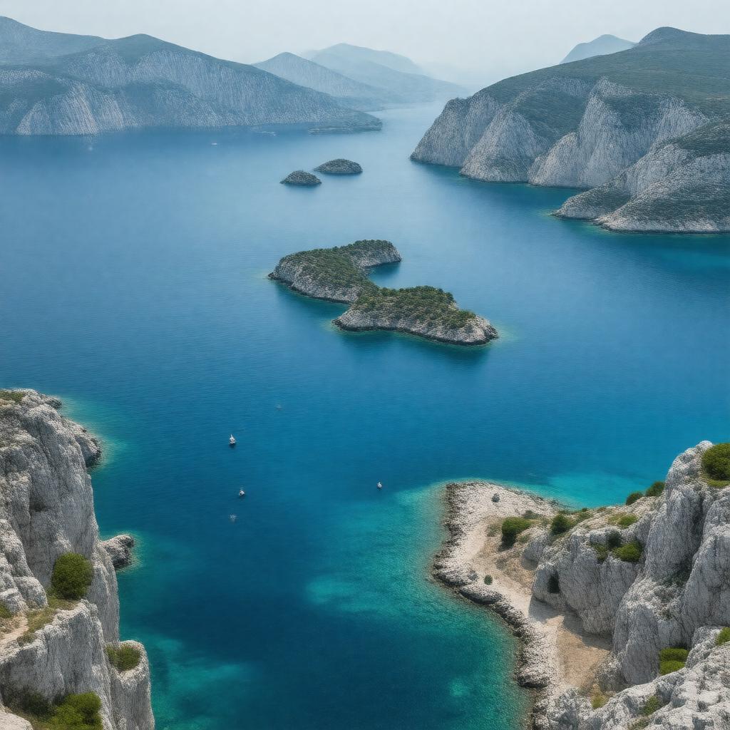
AI-created image
Statements (33)
| Predicate | Object |
|---|---|
| gptkbp:instanceOf |
gptkb:marine
|
| gptkbp:area |
approximately 214,000 square kilometers
|
| gptkbp:borders |
gptkb:Greece
gptkb:Turkey |
| gptkbp:connectedTo |
gptkb:Ionian_Sea
gptkb:Dardanelles gptkb:Sea_of_Marmara |
| gptkbp:contains |
gptkb:Crete
gptkb:Cyclades gptkb:North_Aegean_Islands gptkb:Sporades gptkb:Dodecanese |
| gptkbp:flowsThrough |
gptkb:Mediterranean_Sea
|
| gptkbp:hasMajorPort |
gptkb:Izmir
gptkb:Piraeus gptkb:Thessaloniki |
| gptkbp:historicalSignificance |
gptkb:Ottoman_Empire
gptkb:Ancient_Greek_civilization gptkb:Persian_Wars Byzantine Empire |
| gptkbp:length |
about 610 kilometers
|
| gptkbp:locatedIn |
gptkb:Eastern_Mediterranean
|
| gptkbp:maximumDepth |
3543 meters
|
| gptkbp:notableFeature |
important shipping route
numerous islands clear blue waters |
| gptkbp:partOf |
gptkb:Mediterranean_Sea
|
| gptkbp:salinity |
38-39 ppt
|
| gptkbp:width |
about 300 kilometers
|
| gptkbp:bfsParent |
gptkb:Greece
gptkb:Turkey |
| gptkbp:bfsLayer |
4
|
| http://www.w3.org/2000/01/rdf-schema#label |
Aegean Sea
|